PLATS DU JOUR
A creamy dish of locally-sourced catastrophes served with mixed CAT model, GOES data, and in-situ weather stations and a dollop of Doppler radar images. When disasters strike, this comfort food will ensure your community is covered and rebuild-ready.
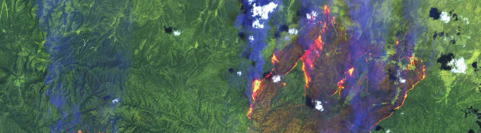
Wildfires giving you heartburn? A fusion of geospatial data and satellite imagery spiced with social-media mapping helps citizens stay flame-free. All the ingredients needed to avoid a scorching heat and soothe a fiery situation.
A hearty stew with a hefty mix of GPS signals and space weather forecasts, so solar flares don’t make a mess of combat communications for soldiers on the move. It’s a life-saving battlefield favorite as soldiers confront unsavory characters.
International cargo ships navigated the open oceans and coastal waters to bring this fresh catch of mobile devices to your plate and pocket. Served on a bed of bathymetry and water depth data with a medley of other information from buoys, satellites, and sensors. Tell or tweet your friends about it!
With a rich, creamy blend of space and land-based geographic data, this velvety dish brings maps into uncharted territory. Trained youth mapper chefs hand-make this dish from scratch with their own national flairs.